File:MonyoMap.png
Jump to navigation
Jump to search

Size of this preview: 773 × 600 pixels. Other resolutions: 2,560 × 1,986 pixels | 3,109 × 2,412 pixels.
Original file (3,109 × 2,412 pixels, file size: 413 KB, MIME type: image/png)
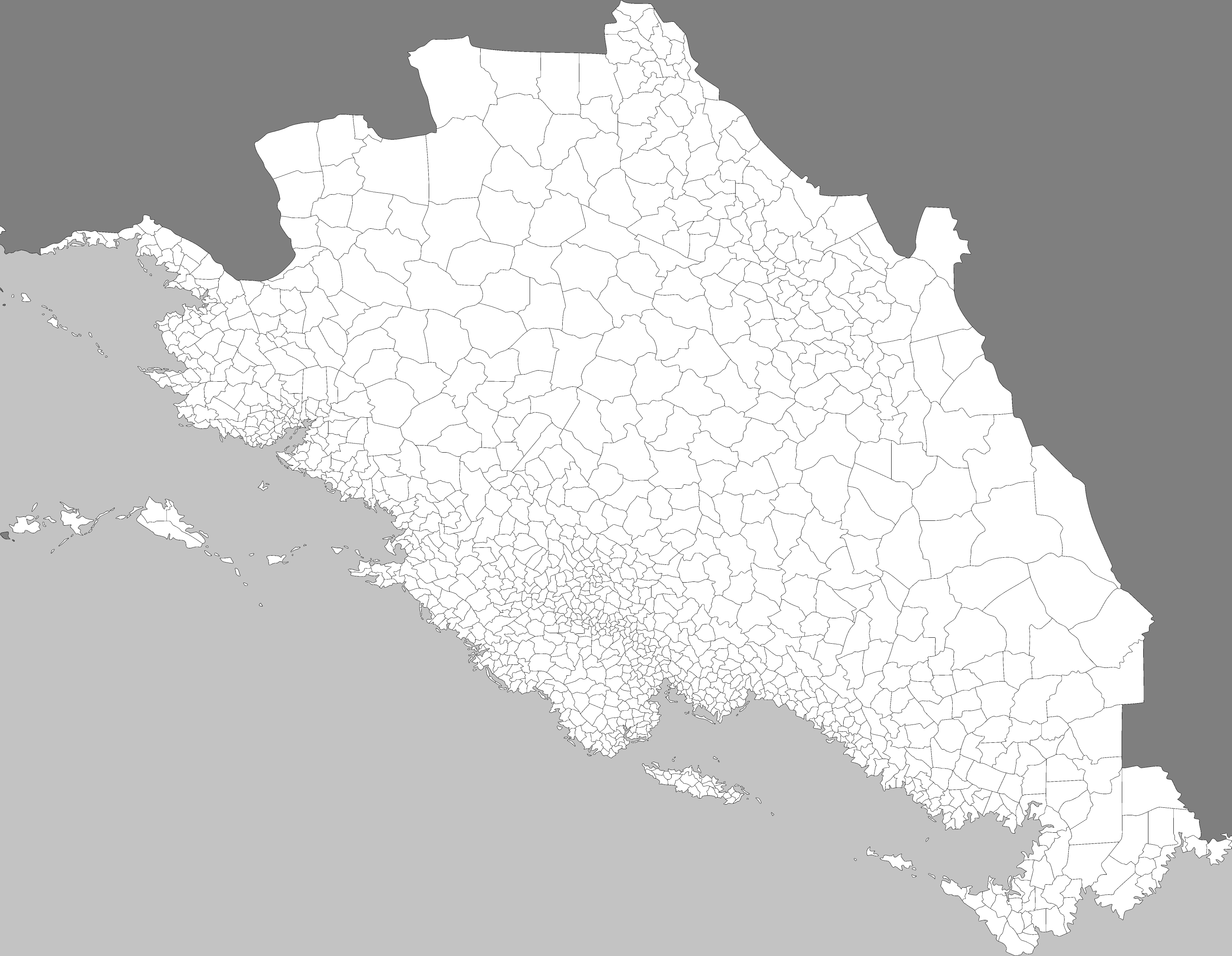
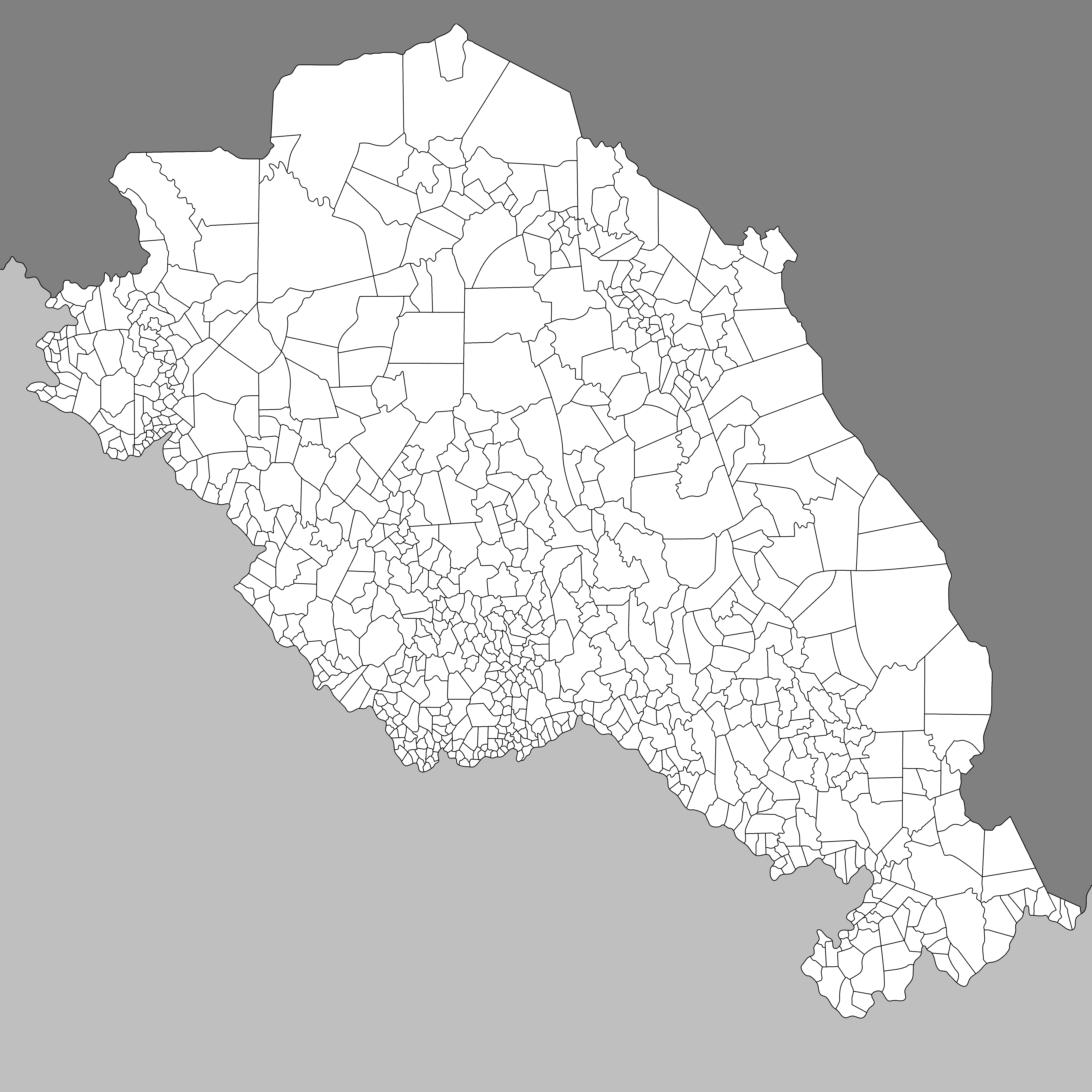
map of Yakormonyo up to third administrative level.
File history
Click on a date/time to view the file as it appeared at that time.
| Date/Time | Thumbnail | Dimensions | User | Comment | |
|---|---|---|---|---|---|
| current | 13:05, 2 January 2023 | | 3,109 × 2,412 (413 KB) | Katrasho (talk | contribs) | fixed post-geodoot version |
| 13:03, 2 January 2023 | Error creating thumbnail: File with dimensions greater than 12.5 MP | 6,217 × 4,824 (659 KB) | Katrasho (talk | contribs) | Post-geodoot version | |
| 05:45, 17 November 2020 |  | 2,964 × 2,964 (571 KB) | Katrasho (talk | contribs) | fixed svg-based version | |
| 05:45, 17 November 2020 | Error creating thumbnail: File with dimensions greater than 12.5 MP | 5,928 × 5,928 (613 KB) | Katrasho (talk | contribs) | new svg version | |
| 13:36, 12 October 2020 |  | 2,266 × 2,266 (151 KB) | Katrasho (talk | contribs) | map of Yakormonyo up to third administrative level. |
You cannot overwrite this file.
File usage
The following page uses this file: