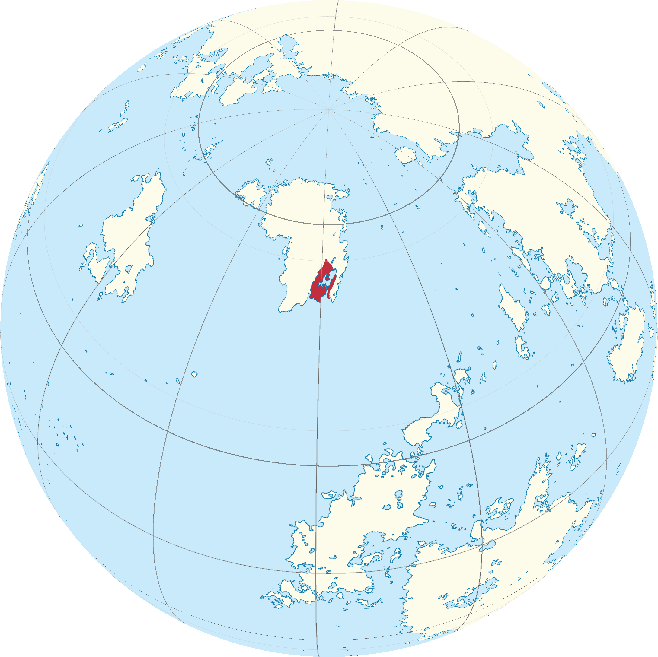
File:SAN Locator Map.png
Revision as of 23:25, 11 September 2018 by Jaxukuk (talk | contribs) (Category:Locator Maps Category:Maps Category:Globe Maps)
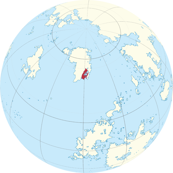
Size of this preview: 600 × 599 pixels. Other resolution: 2,180 × 2,178 pixels.
Original file (2,180 × 2,178 pixels, file size: 805 KB, MIME type: image/png)
File history
Click on a date/time to view the file as it appeared at that time.
| Date/Time | Thumbnail | Dimensions | User | Comment | |
|---|---|---|---|---|---|
| current | 00:14, 12 September 2018 | | 2,180 × 2,178 (805 KB) | Jaxukuk (talk | contribs) | Fixed Atsiq's lakes |
| 23:25, 11 September 2018 | 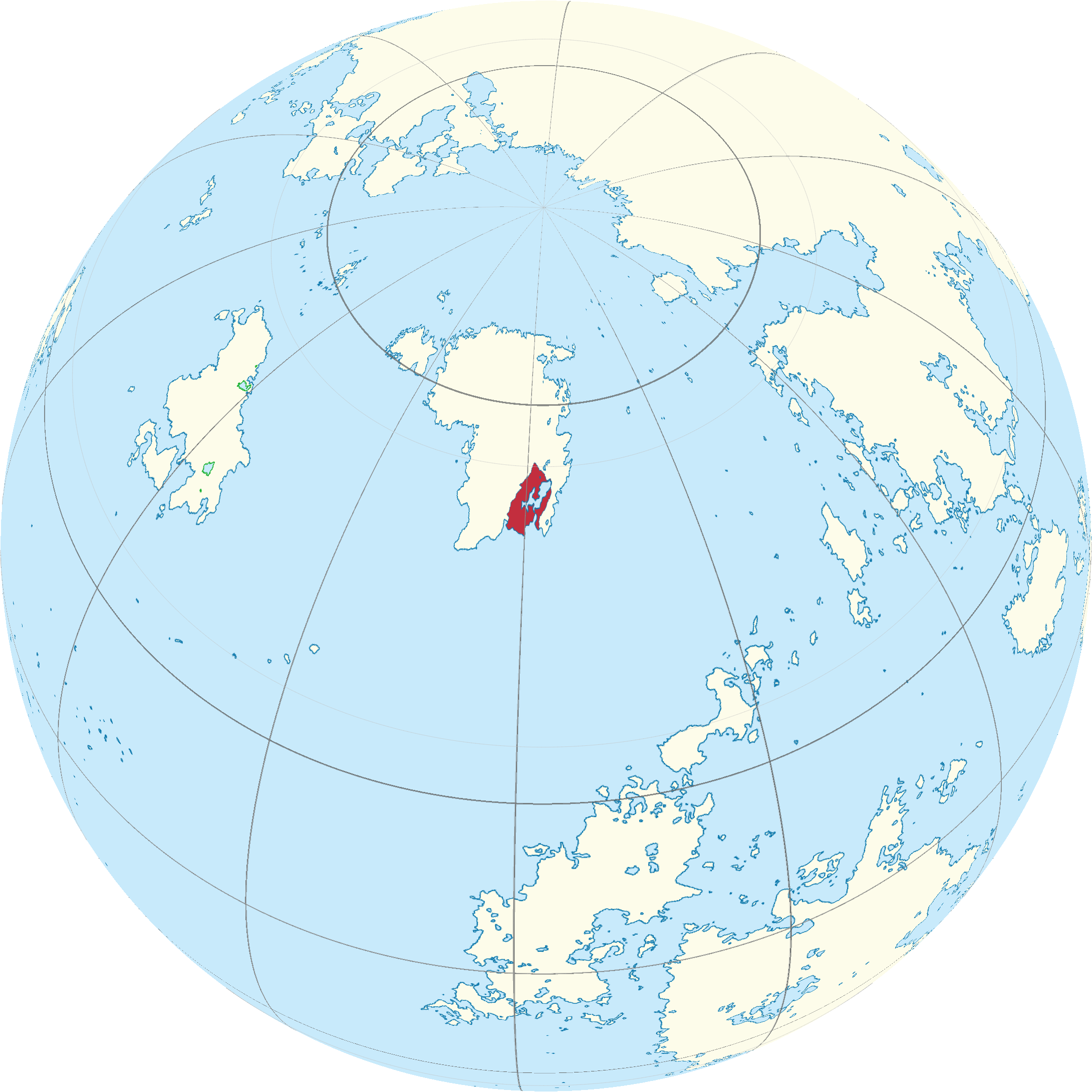 | 2,180 × 2,180 (810 KB) | Jaxukuk (talk | contribs) | Category:Locator Maps Category:Maps Category:Globe Maps |
You cannot overwrite this file.
File usage
The following page uses this file: