Phaswa Mountains
Jump to navigation
Jump to search
| Darkine | |
|---|---|
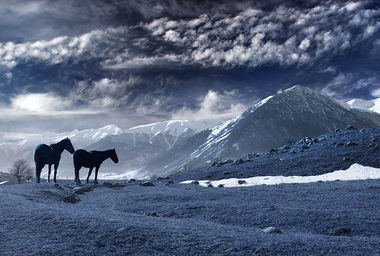
 Highlands of Hux Kham, with the Darkine in the background | |
| Highest point | |
| Peak | Something in Hux Kham |
| Elevation | 6,552 m (21,496 ft) |
| Geography | |
| Countries | |
| Continent | Soltenna |
The Darkine is a mountain range separating West and East Soltenna. It extends from northeastern Qonklaks to central western Liosol, dividing Hux Kham into two geographically separate regions, and bordering the Rapheng and Lion ranges. The Darkine hosts most of Soltenna's highest peaks and all of the region's 6000m peaks outside Bevasejerna, including Soltenna's second highest point in Mount (something) whose height above sea level reached 6,552 metres (21,496 ft).