Category:Maps of Gfiewistan
Jump to navigation
Jump to search
Media in category "Maps of Gfiewistan"
The following 5 files are in this category, out of 5 total.
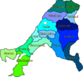 Gfw map districts labeled colored.png 917 × 858; 137 KB
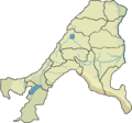 Gfw map districts only with less altitude levels.png 917 × 858; 102 KB
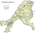 Gfw map districts with railways, stations and ferry line stations.png 950 × 888; 181 KB
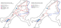 Gfw map railway network 1950 and 2018 with terminal stations marked.png 1,834 × 858; 219 KB


