File:Gfw map districts labeled colored.png
Jump to navigation
Jump to search

Size of this preview: 641 × 600 pixels. Other resolution: 917 × 858 pixels.
Original file (917 × 858 pixels, file size: 137 KB, MIME type: image/png)
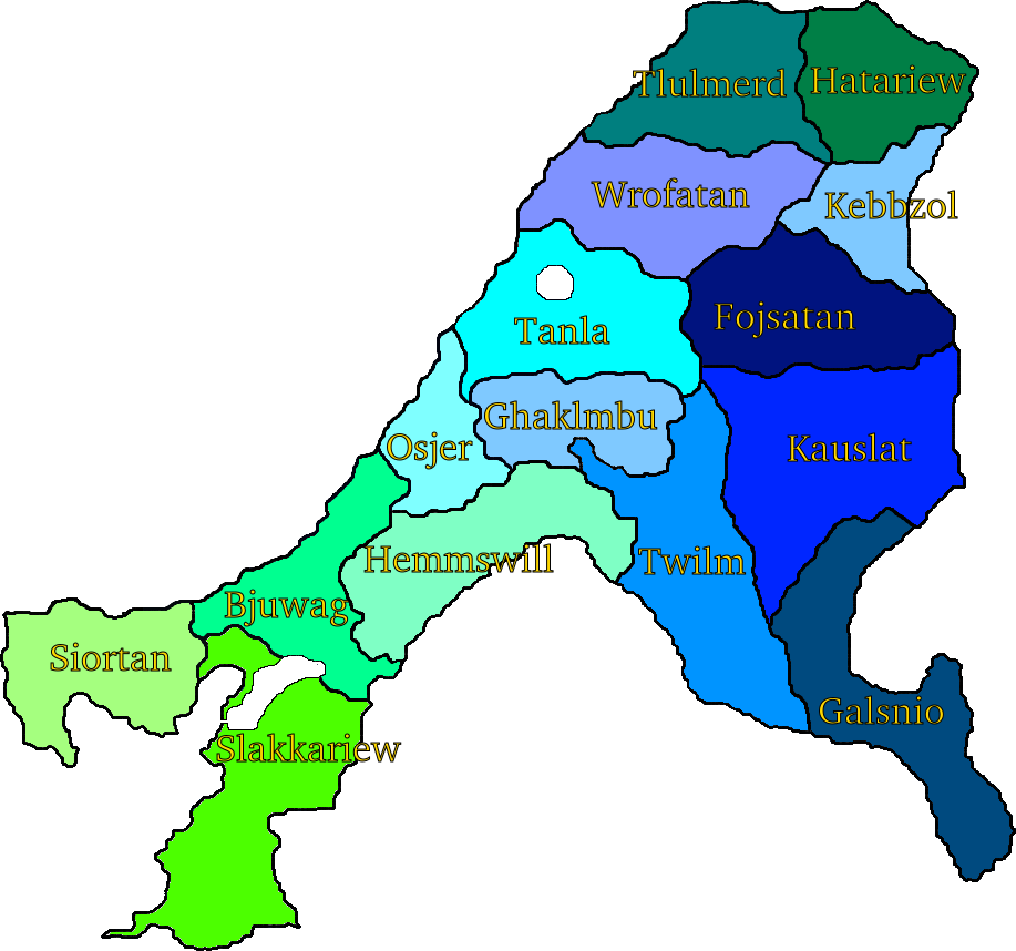
Map showing the states of Gfiewistan in different colors, with names
File history
Click on a date/time to view the file as it appeared at that time.
| Date/Time | Thumbnail | Dimensions | User | Comment | |
|---|---|---|---|---|---|
| current | 01:16, 20 February 2020 | | 917 × 858 (137 KB) | Jute (talk | contribs) | Map showing the states of Gfiewistan in different colors, with names Category:ImagesCategory:MapsCategory:GfiewistanCategory:YstelCategory:Administrative divisions |
You cannot overwrite this file.
File usage
The following 2 pages use this file: