File:Haisearydistricts.png
Jump to navigation
Jump to search
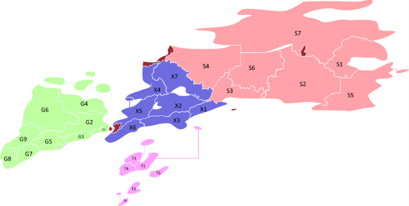
Size of this preview: 800 × 403 pixels. Other resolution: 3,696 × 1,860 pixels.
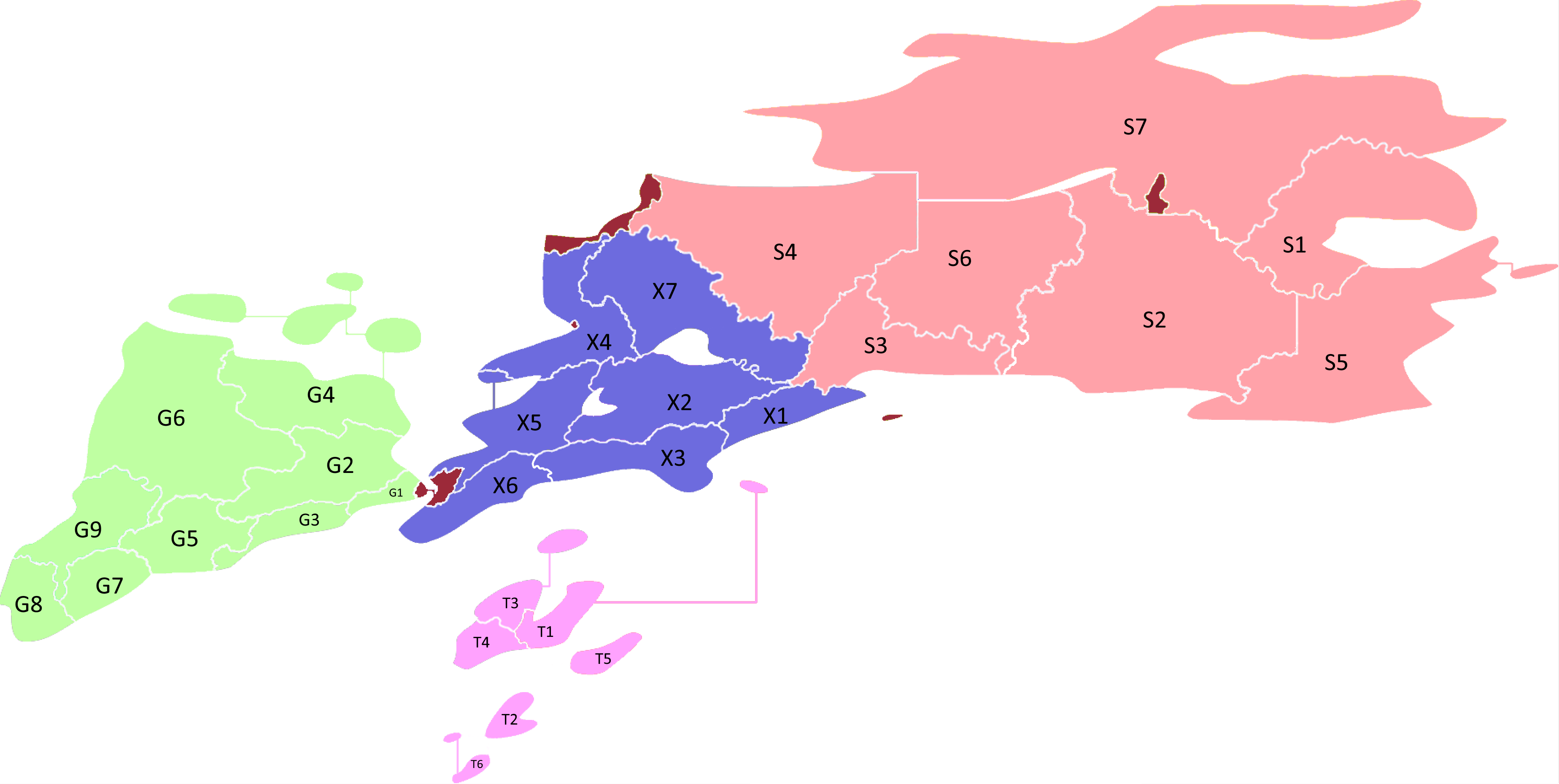
Original file (3,696 × 1,860 pixels, file size: 265 KB, MIME type: image/png)
Haiseary's first-level administrative divisions (districts) mapped and colour-coded with regions and romanised names.
File history
Click on a date/time to view the file as it appeared at that time.
| Date/Time | Thumbnail | Dimensions | User | Comment | |
|---|---|---|---|---|---|
| current | 16:42, 13 July 2019 | | 3,696 × 1,860 (265 KB) | Tetthinkirl (talk | contribs) | Haiseary's first-level administrative divisions (districts) mapped and colour-coded with regions and romanised names. |
You cannot overwrite this file.
File usage
The following page uses this file: