File:OtofuMap.png
Jump to navigation
Jump to search

Size of this preview: 757 × 600 pixels. Other resolution: 1,001 × 793 pixels.
Original file (1,001 × 793 pixels, file size: 36 KB, MIME type: image/png)
File history
Click on a date/time to view the file as it appeared at that time.
| Date/Time | Thumbnail | Dimensions | User | Comment | |
|---|---|---|---|---|---|
| current | 05:41, 16 January 2021 | | 1,001 × 793 (36 KB) | Katrasho (talk | contribs) | yet another mapdoot… |
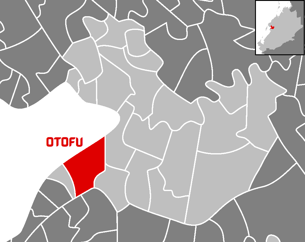
| 00:33, 14 December 2020 |  | 505 × 697 (33 KB) | Katrasho (talk | contribs) | locator map of Otofu Municipal | |
| 13:54, 21 September 2018 |  | 154 × 178 (4 KB) | Katrasho (talk | contribs) |
You cannot overwrite this file.
File usage
There are no pages that use this file.