Difference between revisions of "File:Gfw map districts only with less altitude levels.png"
Jump to navigation
Jump to search
(Jute uploaded a new version of File:Gfw map districts only with less altitude levels.png) |
m |
||
| Line 1: | Line 1: | ||
Map of Gfiewish states showing altitude levels, but no towns, railways or roads | Map of Gfiewish states showing altitude levels, but no towns, railways or roads | ||
[[Category:Maps of administrative divisions]] [[Category:Maps of Ystel]] [[Category:Gfiewistan]] | [[Category:Maps of administrative divisions]] [[Category:Maps of Ystel]] [[Category:Maps of Gfiewistan]] | ||
Revision as of 11:33, 12 July 2021
Map of Gfiewish states showing altitude levels, but no towns, railways or roads
File history
Click on a date/time to view the file as it appeared at that time.
| Date/Time | Thumbnail | Dimensions | User | Comment | |
|---|---|---|---|---|---|
| current | 14:33, 26 June 2021 | 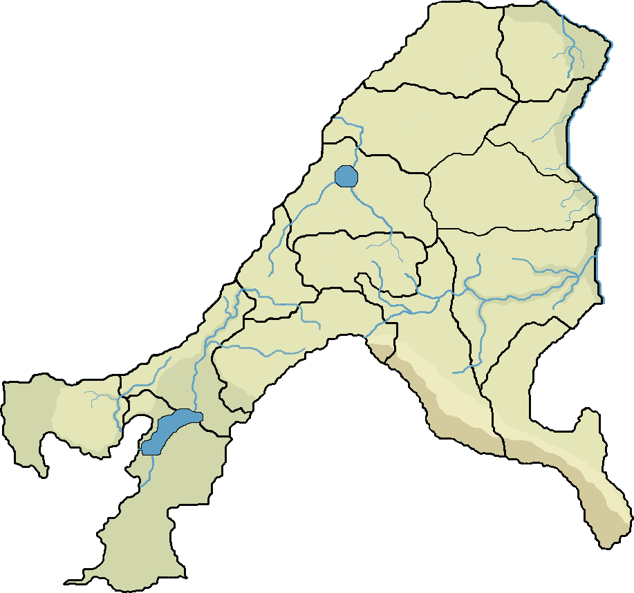 | 917 × 858 (102 KB) | Jute (talk | contribs) | Title removed |
| 14:28, 26 June 2021 | 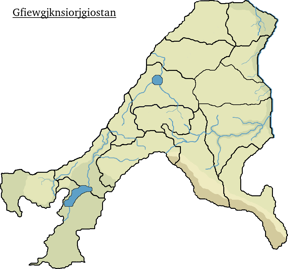 | 917 × 858 (107 KB) | Jute (talk | contribs) | Map of Gfiewish states showing altitude levels, but no towns, railways or roads Category:Maps of administrative divisions Category:Maps of Ystel Category:Gfiewistan |
You cannot overwrite this file.
File usage
The following page uses this file: