Difference between revisions of "List of sovereign states and dependent territories in Lahan"
Jump to navigation
Jump to search
m |
m |
||
| Line 22: | Line 22: | ||
| [[File:Kaiyyo minitempflag.png|100px|frameless|center]] | | [[File:Kaiyyo minitempflag.png|100px|frameless|center]] | ||
| <!-- map --> | | <!-- map --> | ||
| [[Kaiyyo]] | | [[Kaiyyo]]<br><small>Republic of Kaiyyo</small> | ||
| [[Yawó]]: Káyeyg [kɐ˥jeɰ˧] | | [[Yawó]]: Káyeyg [kɐ˥jeɰ˧] | ||
[[Jayun Thap]]: Ágąyo [ä́gɑ̰jɔ] | [[Jayun Thap]]: Ágąyo [ä́gɑ̰jɔ] | ||
| Line 32: | Line 32: | ||
| [[File:Tuyo flag.png|100px|frameless|center]] | | [[File:Tuyo flag.png|100px|frameless|center]] | ||
| <!-- map --> | | <!-- map --> | ||
| [[Tuyo | | [[Tuyo]]<br><small>Republic of Thuyo</small> | ||
| [[Jayun Thap]], [[Ikang Thap]]: Thúyo [tʰújɔ, θújo] | | [[Jayun Thap]], [[Ikang Thap]]: Thúyo [tʰújɔ, θújo] | ||
[[Qaila'u]]: Dūyo [ˀtu:jə͡u], Fōlequm [ɸa͡uləˀkum] | [[Qaila'u]]: Dūyo [ˀtu:jə͡u], Fōlequm [ɸa͡uləˀkum] | ||
| Line 42: | Line 42: | ||
| [[File:UtogoFlag.png|100px|frameless|center]] | | [[File:UtogoFlag.png|100px|frameless|center]] | ||
| <!-- map --> | | <!-- map --> | ||
| [[Utogo]] | | [[Utogo]]<br><small>Democratic Republic of Utogo</small> | ||
| [[Uhi Thap]]: Vtóka [ʉˈtokə] | | [[Uhi Thap]]: Vtóka [ʉˈtokə] | ||
14 other indigenous names | 14 other indigenous names | ||
| [[Khatoyohár]] | | [[Khatoyohár]] | ||
| 33,356,000 | | 33,356,000 | ||
| Line 66: | Line 66: | ||
| <!-- map --> | | <!-- map --> | ||
| [[Jute|Confederated communities of Jute]] | | [[Jute|Confederated communities of Jute]] | ||
| [[Jutean]]: Jute | | [[Jutean]]: Jute | ||
| [[Jute City]] | | [[Jute City]] | ||
| 1,780,000 | | 1,780,000 | ||
Revision as of 13:32, 22 June 2021
The list below entails all fully and partially recognized states and territories in Lahan. There are currently 3 fully recognized countries within Lahan and surrounding islands, four if Jute is counted.
Definition of Lahan as a Continent
Lahan is a small continent to the east of Baredina and includes the small adjacent islands, and some farther islands such as the Ikang Islands and the Tujuan Archipelago.
Jute is sometimes considered part of Lahan for geographical reasons, although it is politically and historically more closely tied to Ystel.
Mainland states
| Flag | Map | Short and formal names | Domestic short and formal names | Capital | Population | Area | Notes |
|---|---|---|---|---|---|---|---|
| Kaiyyo Republic of Kaiyyo |
Yawó: Káyeyg [kɐ˥jeɰ˧]
Jayun Thap: Ágąyo [ä́gɑ̰jɔ] |
Lirjefafa | 37,143,000 | ||||
| Tuyo Republic of Thuyo |
Jayun Thap, Ikang Thap: Thúyo [tʰújɔ, θújo]
Qaila'u: Dūyo [ˀtu:jə͡u], Fōlequm [ɸa͡uləˀkum] |
Phąskovąt | 35,622,222 | 330,839 km² | |||
| Utogo Democratic Republic of Utogo |
Uhi Thap: Vtóka [ʉˈtokə]
14 other indigenous names |
Khatoyohár | 33,356,000 |
Island states
| Flag | Map | Short and formal names | Domestic short and formal names | Capital | Population | Area | Notes |
|---|---|---|---|---|---|---|---|
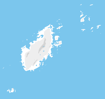
| Confederated communities of Jute | Jutean: Jute | Jute City | 1,780,000 | 36,551 km² | Typically considered part of Ystel |


