Category:Maps of Boroso
Jump to navigation
Jump to search
Subcategories
This category has the following 2 subcategories, out of 2 total.
Media in category "Maps of Boroso"
The following 20 files are in this category, out of 20 total.
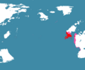
 Boroso Locator.png 2,161 × 2,157; 623 KB
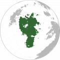
 Cananganamese Empire at its Height.png 3,106 × 2,553; 47 KB
 Distr numur.png 1,020 × 535; 12 KB
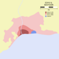 Edhu quickmap.png 962 × 962; 36 KB
 Fadalh topographic map-en.png 3,000 × 2,307; 767 KB
 FalsSpeciesDistribution.png 1,847 × 1,104; 116 KB
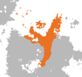 Great Dhweran Empire.png 622 × 585; 25 KB
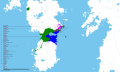
 Habitatiotiliæsapatæ.png 784 × 676; 16 KB
 Kifu.png 1,714 × 2,986; 249 KB
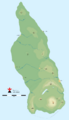
 Lvóbasin.png 484 × 320; 52 KB
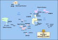
 Mbamigi Height.png 942 × 655; 139 KB
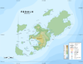
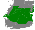
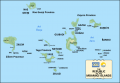
 Mbamigi Provinces.png 942 × 655; 122 KB
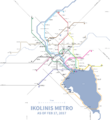 Metro ikolinis.png 3,026 × 3,290; 1.12 MB
 Mwambamep.png 3,001 × 3,000; 1.76 MB
 Setyal Empire.png 777 × 622; 11 KB
 Thewer map.png 900 × 733; 156 KB
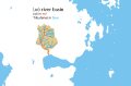
 Thewer River Basin.png 800 × 830; 106 KB
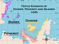 Triple Kingdom Maximum.png 917 × 691; 165 KB
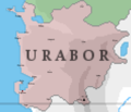 URBCities.png 1,069 × 915; 31 KB
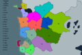 URBCounties.png 3,750 × 2,500; 958 KB


